Terry Stokka has lived in Black Forest for 29 years. He is president of the Friends of Black Forest, chairman of the Black Forest Land Use Committee and chairman of the Black Forest Water & Wells Committee.
Here comes El Niño
By Terry Stokka
El Niño is a weather phenomenon that trades places every year or two with its sister, La Niña.
Globally, weather follows patterns of change, or oscillations, that can last many years as they shift from one pattern to another. One of these patterns is ENSO (El Niño-Southern Oscillation), which occurs when the temperature of the eastern Pacific Ocean at the equator warms by as little as 1 degree Fahrenheit above normal.
ENSO occurs every two to seven years and lasts about seven to 12 months before transitioning to La Niña, when the eastern Pacific Ocean cools below normal. ENSO is the most influential climate driver on Earth, affecting precipitation, temperatures, hurricanes and other weather events worldwide.
According to a Gazette article published in October 2019, climate records of El Niño go back millions of years, with evidence of the cycle found in ice cores, deep-sea mud, coral, caves and tree rings. In the 1600s, Peruvian fishermen harvesting off the coast of South America first recognized the phenomenon when changing ocean currents caused a drastic drop in their catch. They named it El Niño, or “Little Boy” in Spanish, because it typically occurred around Christmas.
The National Oceanic and Atmospheric Administration (NOAA) maintains 70 ocean buoys across the equatorial Pacific Ocean that transmit weather data to scientists daily. Scientists analyze the data to identify trends and changes that are occurring. ENSO is happening right now, and weather forecasters predict the eastern Pacific Ocean will warm by as much as 4 degrees above normal this summer and fall, resulting in a super El Niño. When this happens, the warmer Pacific water evaporates more moisture into the atmosphere, and the jet stream moves this moist air over the United States in a different pattern.
The jet stream, which normally passes north of Colorado as it winds its way across the United States, moves farther south, over or beyond Colorado. The result is an increase in precipitation because the warm, moist air above us produces more rain and snow while also bringing higher temperatures.
One interesting result of El Niño is that fewer Atlantic hurricanes occur. ENSO also means cooler water in the western Pacific, resulting in less precipitation for areas such as Australia, where devastating wildfires can occur. During La Niña, the eastern Pacific cools and the western Pacific warms, resulting in more precipitation and warmer temperatures in the western Pacific.
Weather folks predict the super El Niño should arrive around mid-July, bringing increased precipitation and warmer temperatures. They expect El Niño to last through the winter and into next year, but they caution that we will have to wait and see exactly what it looks like when it arrives.
The last super El Niño events affecting the United States occurred in 1997-98 and 2015-16. In Colorado, those winters produced snowfall totals of 146 and 125 inches, respectively, far above the Black Forest average of 88 inches. As an amateur weather observer, I have kept records dating back to 1994, including average temperatures, rainfall and snowfall totals. Weather fascinates me, and I follow it with great interest.
So, we will wait and watch to see what happens as summer and fall progress. The news is full of stories about the coming El Niño, and I encourage you to read those articles and learn more about this fascinating weather phenomenon.
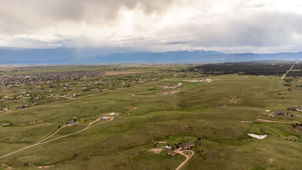
Given the dry winter and spring, I would love to see a wet fall and a snowy winter. The more precipitation we receive, the safer we are from wildfires and the healthier our forest will be. The deep green of well-watered ponderosa pines warms my heart, and the fresh smell of wet pine needles brings me joy. Let’s hope we see that happen this fall and winter.