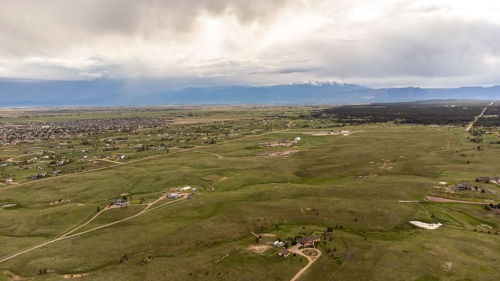
I hope you gained some insight into the Denver Basin and private wells in the last three installments of this column. Many interesting and sometimes startling facts jump out when we look closely at water in Colorado. For this article, I want to examine the Colorado River and the startling fact that 70% of the water used in the city of Colorado Springs comes from the Colorado River. Colorado Springs is one of the only large cities in Colorado that doesn’t have a river flowing through it. Monument Creek and Fountain Creek don’t qualify. The city needs water from outside sources.
This water from the Colorado River comes across the Continental Divide through pipelines and tunnels into Twin Lakes near Leadville. From there, it flows into the Arkansas River to Salida and east to Pueblo Reservoir and up the Southern Delivery System to the Springs.
For the water that falls out of the sky, 70% evaporates back into the atmosphere and 30% soaks into the ground or runs off into streams, rivers and the ocean. Eighty percent of the snow and water that falls on Colorado falls on the west side of the Continental Divide. Ninety percent of the population of Colorado lives on the east side of the Continental Divide. Seventy-five percent of the irrigated land in Colorado is on the east side of the Continental Divide. How about that for a mixed up set of numbers!
Colorado has the headwaters of four major rivers: Colorado, Arkansas, South Platte and Rio Grande. No rivers flow into Colorado, they all flow outward. A specified amount of water from each river must be released across state lines each year. The Colorado River provides water and electrical power for over 25 million people
Water law in Colorado has a complicated and over-allocated history. The 1922 Colorado River Compact allocated water to seven states along the Colorado River. The upper basin has four states: Colorado, Utah, New Mexico and Wyoming. Under the compact they were allocated 7.5 million-acre-feet per year of water. In reality, they have used about 3.5 million-acre-feet. The lower basin has three states: California, Arizona and Nevada. They were also allocated 7.5 million-acre-feet per year but they have used about 8.5 million-acre-feet. Since water flow on the Colorado River has decreased from 15 million-acre-feet per year when the compact was formed down to around 10 million-acre-feet per year; much more water has been promised to users than is available. This is called “over allocated.” The U.S. Bureau of Reclamation declared an emergency in 2022, stating that water use must be reduced 2-4-million-acre-feet. This would have been a huge reduction but the seven states couldn’t come to an agreement on how to do that so the deadline passed without any action. In 2023, the lower basin states declared they would reduce water use by 1.6 million-acre-feet but it remains to be seen if this will happen in 2024.
Colorado River water is primarily stored in two reservoirs. Glen Canyon Dam holds back water in Lake Powell. The lake provides electricity to five million customers. Lake Powell was last full in 2000, but the current lake level is only 34% and 134 feet lower than full. The low lake level has reduced power generation capability to 40% of optimum and is very near “minimum power pool,” where power can no longer be generated. The wet spring of 2023 with record snowpack permitted Lake Powell to rise by 65 feet, which is a huge amount of water.
Hoover Dam holds back water in Lake Mead and provides water to over 20 million customers and was also full in 2000. The lake is currently 36% full and is 149 feet below the peak level. Lake Mead is also very near “minimum power pool” level, where electrical power can no longer be generated.
As a solution for the extremely low water levels in 2022, Lake Powell held back 480,000-acre-feet and got an extra 500,000-acre-feet of water from the Flaming Gorge Reservoir to stabilize the dropping water level. Fortunately, the very wet spring in 2023 permitted the reservoir to rise about 35 feet.
You will need to read this article a few times to digest all the information. I hope it is helpful, and I will see you next month with more information on the Colorado River.